Archive:
The Impact on Heritage
Heritage assets can include Listed Buildings, Locally-Listed Buildings, Ancient Monuments, Conservation Areas, and Archaeology.
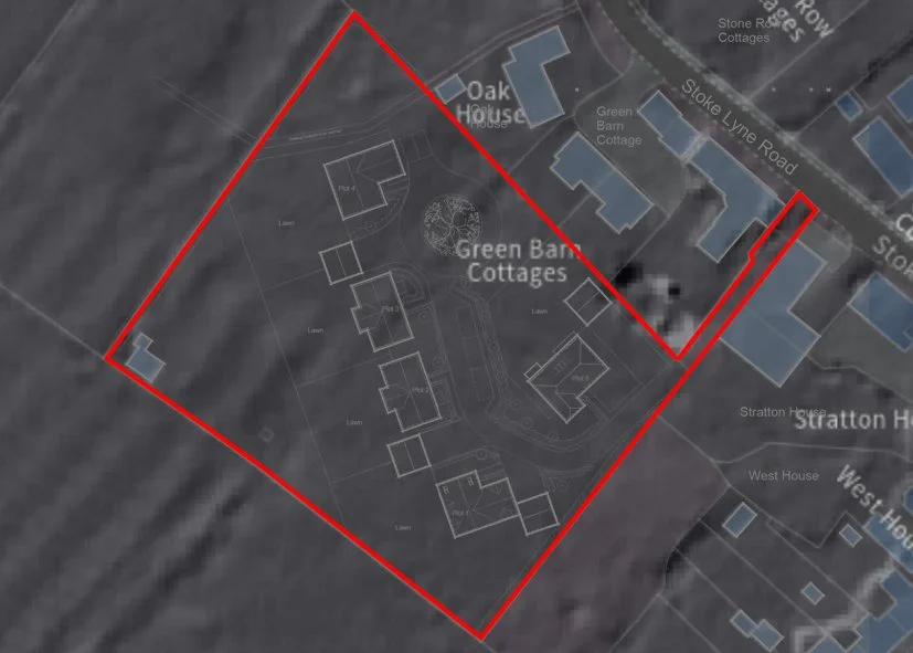
The application site sits within and alongside the conservation area, immediately adjacent to locally-listed buildings, and close to listed buildings and an ancient monument.
On this application, planning officers should consider (amongst other matters):
Whether the applicant has carried out a proper assessment of the local heritage;
The significance of these heritage assets;
The setting of these heritage assets;
Whether the proposed development causes harm to these heritage assets;
Whether justification or mitigation is required in relation to any harm; and
Whether the site has any archaeological potential.
The following points represent a high-level assessment of the planning application documents. If you want to know more about this application, a detailed assessment on all of these points can be found on the ‘Links’ tab.
This proposal will cause irreversible harm to our Conservation Area - harm the applicant fails to acknowledge.
The Stratton Audley Conservation Area Appraisal explicitly states that development on open space such as this application site ‘should be resisted’ as they ‘make a strong contribution to the character of the conservation area’. This critical statement has been entirely omitted from the applicant's submissions.
The village's character is defined as ‘dispersed development set among paddocks and green space’ with the paddock forming a core component of this character. Development would result in the permanent loss of this important open space character.
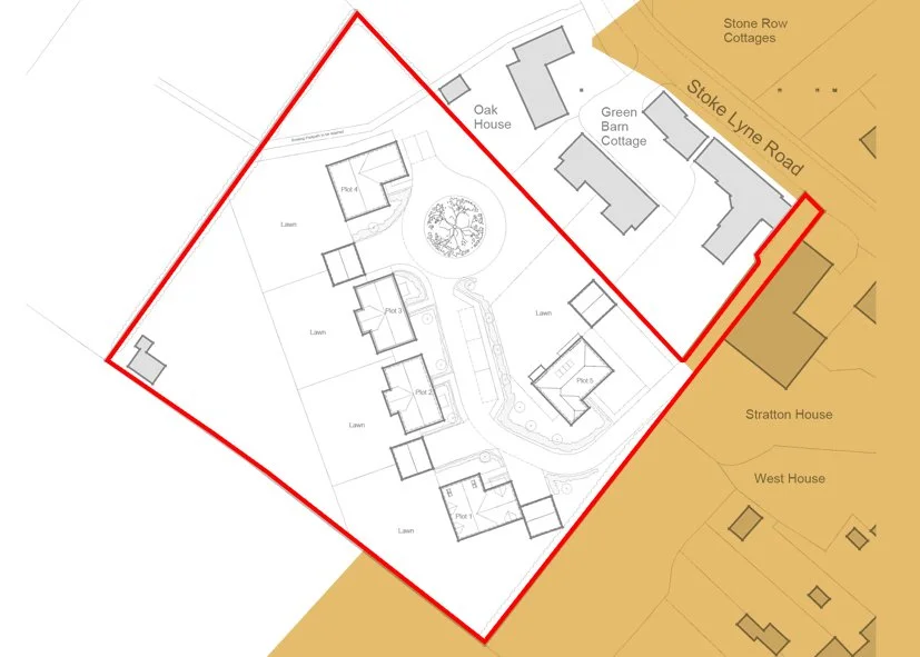
Contrary to claims by the applicant, the access track sits within the Conservation Area boundary (shown in orange on the plan below). The transformation of this agricultural track – currently with metal farm gates and of a rural character – into a hard-surfaced residential driveway would cause direct harm to the character and appearance of the conservation area.
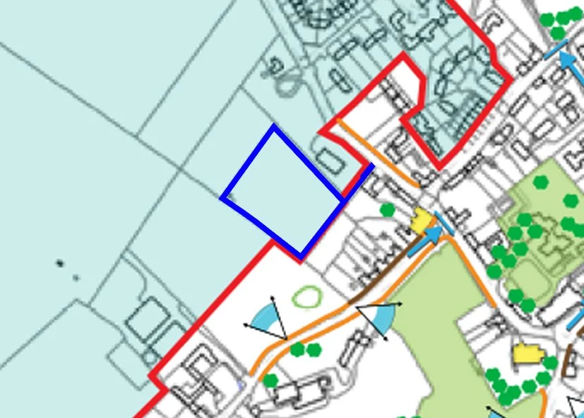
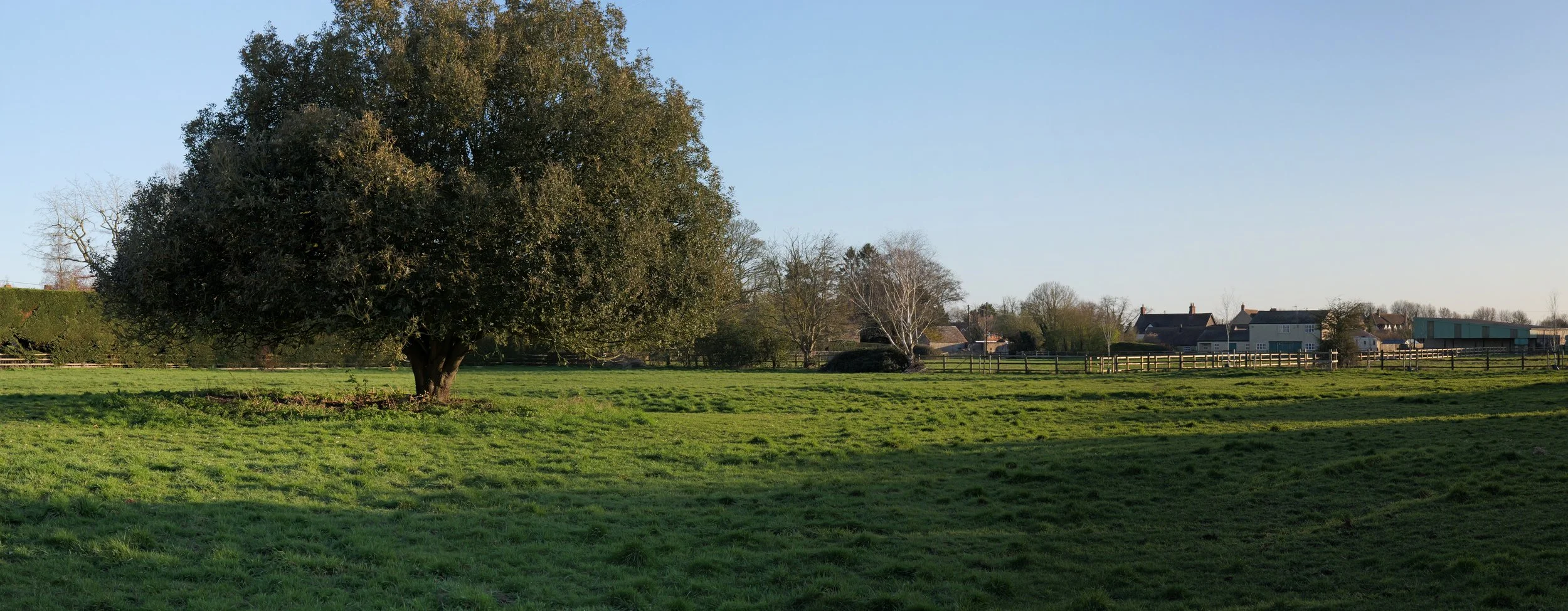
Views to and from the Conservation Area are a key part of our village character - the Paddock is part of only two remaining views of the open countryside from the village.
The Conservation Area Appraisal identifies only two notable views from within the village out to the open countryside. One of these is ‘views over the fields north of Hall Farm’ – the application site forms a key component of this important view. The applicant has failed to acknowledge or assess this key view, despite it being clearly documented. Development would significantly compromise this view and create a suburbanising effect on the historic setting of the village and conservation area.
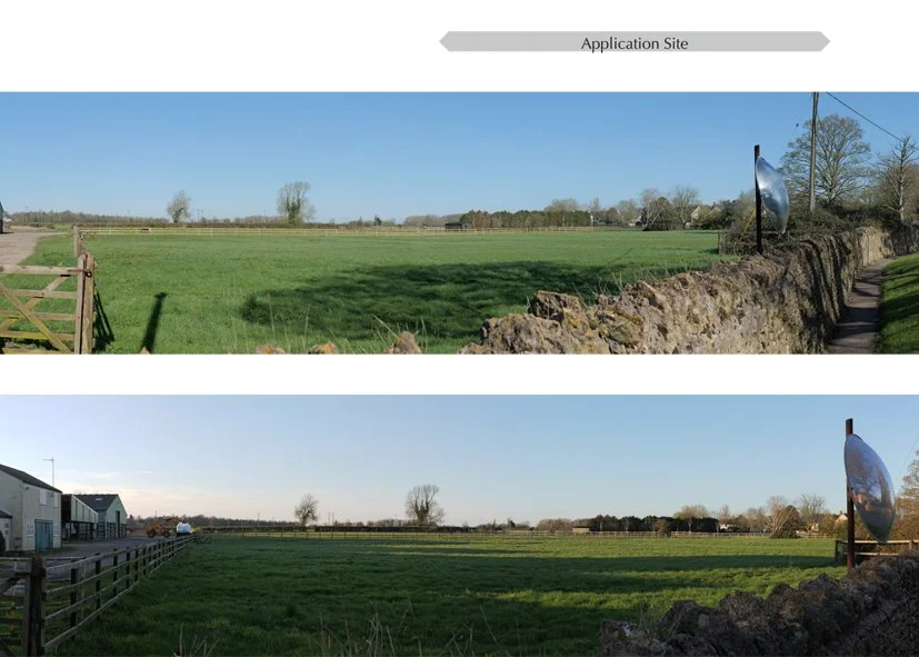
Contrary to the applicants assessment, the Paddock is publicly visible with a Public Right of Way running straight through it
A Public Right of Way (footpath 371/5) crosses the application site. The applicant incorrectly claims the site is not publicly accessible, when in reality the PRoW provides public views of the site in conjunction with the conservation area and heritage assets. These views would be fundamentally altered by development.
The archaeological history of Stratton Audley could lay beneath the Paddock
Publicly available LIDAR data shows clear evidence of ridge and furrow landforms within the application site, indicating potential archaeological interest. Despite this, no archaeological assessment has been provided.